Reconnaissance in Haryana and western UP, India
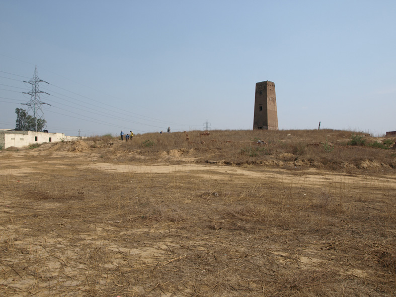
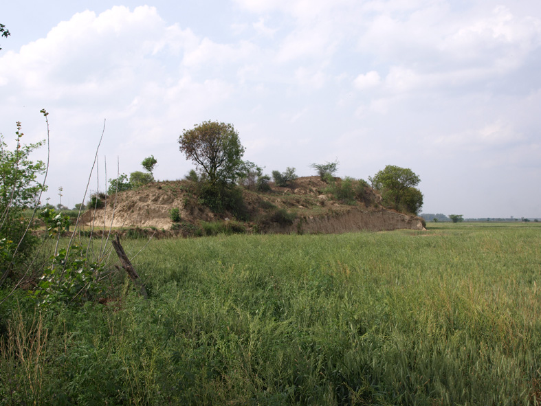
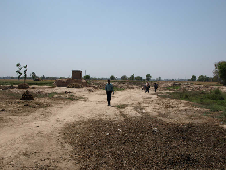
A multidisciplinary collaborative team consisting of researchers from Banaras Hindu University (BHU) (Singh, Singh and Singh), the University of Cambridge (Petrie and French), the University of Oxford (Goudie), Imperial College London (Gupta), the Indian Institute of Technology Kanpur (Sinha), and the Uttar Pradesh State Archaeology Department (Tewari, Yadav and Shrivastava), and led by R.N. Singh and C.A. Petrie, carried out a reconnaissance of a number of Harappan and later period sites in western Uttar Pradesh (UP) and Haryana between April 4th - 15th and again on May 21st 2008. This preliminary reconnaissance involved revisiting archaeological sites identified in previous surveys and recording their precise geographical locations. Opportunistic grab samples of cultural material from the surface of sites were made to evaluate the previously proposed dating and an assessment was also made about their current condition and suitability for further investigation. Furthermore, the immediate landscape hinterlands of sites were investigated in order to characterize their geographical and environmental context and thereby understand the placement of prehistoric settlements in the landscape and their proximity to natural resources etc.
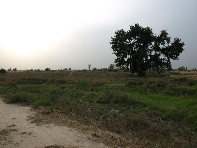
This reconnaissance was primarily focused on establishing the relationship between archaeological sites and their geographical and landscape context in two primary zones: the area northeast and east of New Delhi in western UP; and the central Haryana Plains, between Hisar and Karnal. These areas were specifically chosen because of their geographical relationship to the present courses of the perennial Yamuna and Hindon Rivers (Districts Meerut, Baghpat, Gautam Buddha Nagar and Ghaziabad, western UP) and of the ephemeral Ghaggar, Sarsuti and Chautang Rivers and associated nullahs (Districts Bhiwani, Hisar, Jind and Karnal, Haryana and the southernmost parts of District Patiala, Punjab). The Rewasa Lake playa (District Bhiwanni, Haryana) was also visited.
The field reconnaissance produced a number of significant results. Firstly, it is now clear that there are errors in the published geographic locations of a large number of sites ranging from several hundred metres to many kilometers. Many sites are located at some distance from the modern relict water courses, while others are actually located on the banks of ephemeral nullahs rather than rivers. Secondly, a number of villages appear to have been built on significantly elevated ground, but they are not included in the lists of known prehistoric archaeological sites. Both factors have major ramifications for understanding of the distribution of prehistoric settlement, particularly when it comes to the environmental context of sites. Any attempts to use the existing data set of prehistoric site locations to assess the geographical context of the prehistoric archaeological sites are likely to be fundamentally flawed.
It is possible that all known Harappan period sites in the region need to be resurveyed to establish their precise location, size and when they were occupied. If these data are combined with a detailed GIS landscape analysis and the results are correlated with the results of excavations at sites within those study areas, we will have a clear impression of the relationship between settlement, water resources and the landscape. Comprehensive bio-archaeological and micromorphological analysis will provide unique insight into these relationships. The sub-surface extent and architecture of the palaeo-channels that cut across the plains must also be investigated to establish their alluvial stratigraphy and sedimentology, and this can only be achieved by a combination of geophysical analysis and sediment coring, which will produce datable samples essential for establishing when the channels ceased flowing. Specific studies to reconstruct the local palaeo-climate and rainfall patterns of NW India are also essential.
Analyzing the relationship between geographical and landscape contexts and the archaeological evidence for human occupation, it will be possible to reassess existing hypotheses about the impact of the environment on the Harappan civilization can be re-examined, particularly as they relate to water systems. By determining the precise relationship between settlement, water resources and the landscape, it will be possible for the first time to establish how the human populations of NW India interacted with the land. This project has the potential to force a substantial re-evaluation of the Harappan settlement and agricultural systems in this area, and this will have major ramifications for our understanding of long term cultural development in the region.
Project publications
[1] Petrie C.A. (2008a). Looking for lost rivers in Northwest India. In: McDonald Institute for Archaeological Research Annual Report 2007–2008, p. 34. Cambridge: McDonald Institute for Archaeological Research
[2] Petrie C.A. (2008b). Lost rivers and life on the plains. Relay, 5:pp. 12–13
[3] Petrie C.A. and Singh R.N. (2008). Investigating cultural and geographical transformations from the collapse of Harappan urbanism to the rise the great Early Historic cities: A note on the Land, water and settlement project. South Asian Studies, 24:pp. 37–38
[4] Singh R.N. and Petrie C.A. (2008a). An archaeological and geographical reconnaissance of western Uttar Pradesh and Haryana: April 4th–15th and May 21st, 2008. Bharati, 32
[5] Singh R.N. and Petrie C.A. (2008b). Settlements in context: Reconnaissance in western Uttar Pradesh and Haryana, April and May 2008. Man and Environment, 33 (2)
Updated:2017-03-24. First published:2008-03-14
Copyright © 2008--2008 Cameron Petrie

